
Severe Weather Conditions Ahead
Before the issuance of the winter storm watch, the weather across various regions was relatively stable, with no immediate concerns for severe winter weather. However, a significant shift has occurred as meteorological conditions have rapidly changed, prompting weather authorities to issue warnings for several areas, including Hawaiʻi, Michigan, and Washington.
Decisive Changes in Weather Patterns
The National Weather Service has issued a winter storm watch for the summits of Maunakea and Mauna Loa in Hawaiʻi, where heavy snow accumulations of up to 8 inches are anticipated. This comes as a powerful kona low system moves over the islands, drawing deep tropical moisture northward, which is expected to lead to considerable flash flooding. A Flood Watch is also in effect for the Big Island from Wednesday evening through Saturday afternoon.
Impact on Michigan Residents
In Michigan, the situation has escalated with flood watches due to heavy rainfall, which has already resulted in significant precipitation totals. Reports indicate that 1.25 inches of rain has fallen at MBS International Airport, while Saginaw recorded 1.5 inches and Tuscola Area Airport saw 2.27 inches. As a result, power outages have affected thousands, with 9,077 customers without power reported by Consumers Energy and 317 customers by DTE Energy. A winter weather advisory has also been issued for the Tri-Cities region and northern Thumb due to freezing rain.
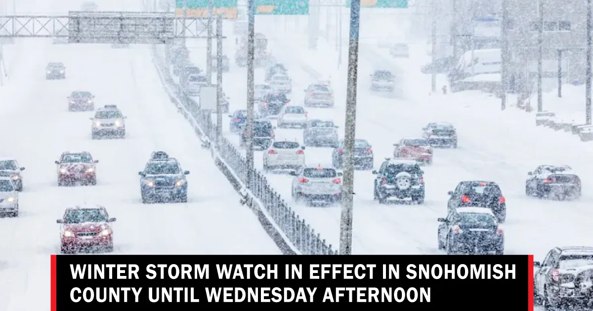
Washington’s Blizzard Warning
Meanwhile, in Washington, a blizzard warning has been declared for the Cascades and Olympics, where forecasts predict between 2 to 4 feet of snow through Thursday morning. Winds are expected to reach speeds of up to 55 mph, creating hazardous conditions with blowing and drifting snow. The National Weather Service has warned that this late winter storm is likely to be the strongest of the season, with heavy snowfall and poor visibility below a quarter mile.
Expert Insights on the Situation
Experts have weighed in on the potential impacts of these weather events. According to the National Weather Service, “Considerable flash flooding is possible beginning later today as a large and powerful kona storm northwest of the state draws deep tropical moisture northward across the islands.” This highlights the severity of the situation and the need for residents to prepare for possible evacuations and road closures.
Looking Ahead
As the storm progresses, residents in the affected areas are urged to stay informed and heed warnings from local authorities. The combination of heavy snowfall, strong winds, and significant rainfall poses a serious risk to safety and infrastructure. Thunderstorm activity is also likely in Michigan until the early afternoon hours, further complicating the weather landscape.
With the winter storm watch now in effect, the contrast between the previous calm weather and the impending severe conditions underscores the unpredictable nature of winter storms. Residents are advised to prepare for potential disruptions and to remain vigilant as the situation develops. Details remain unconfirmed as the storm continues to evolve.