
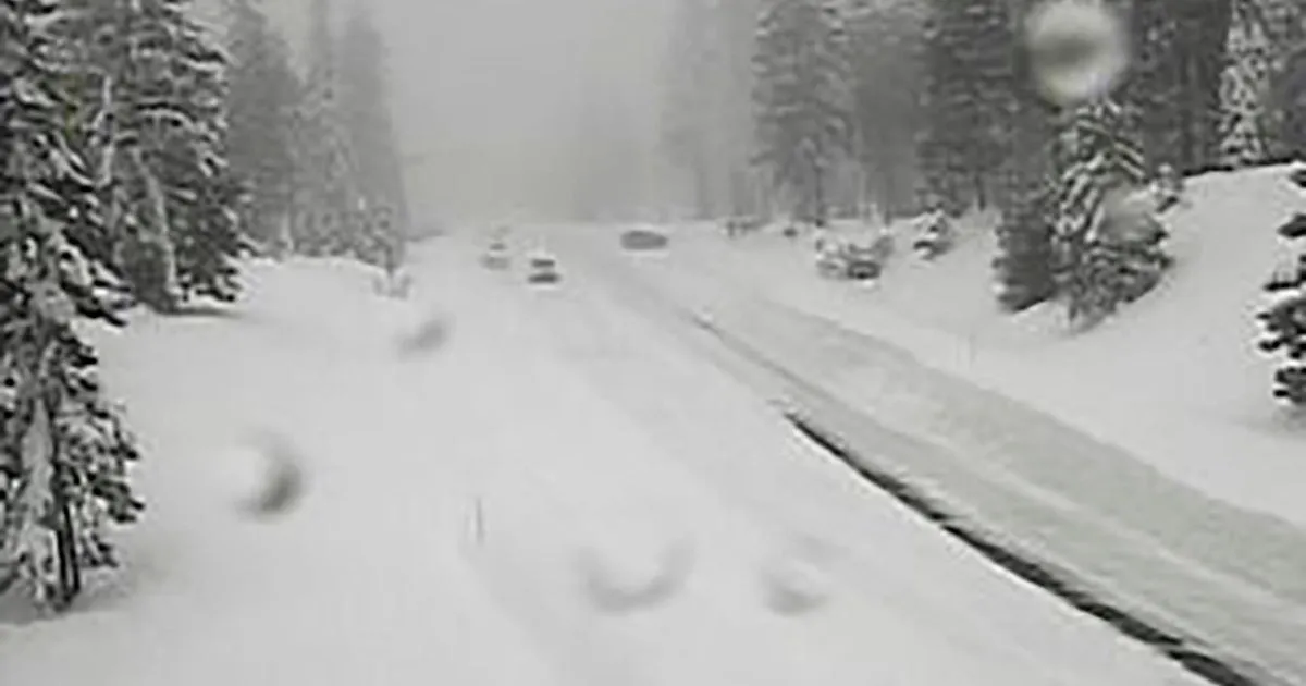
A winter storm warning is currently in effect for parts of northern and central California, particularly impacting the Sierra Nevada region. The National Weather Service (NWS) has issued this warning for elevated mountain areas, including the West Slope Northern Sierra Nevada and Western Plumas County/Lassen Park, specifically above 4500 feet.
Travelers should be prepared for significant snowfall, with additional accumulations expected to reach between 12 to 18 inches above 4500 feet and potentially up to 2 feet at the highest peaks. Winds are also a concern, with gusts predicted to reach as high as 45 mph.
The warning is set to last until 11 PM PDT on April 12, and the NWS has strongly advised against travel during this period due to slick road conditions. “Travel is highly discouraged due to slick road conditions,” officials stated, highlighting the dangers posed by the storm.
On April 11, the UC Berkeley Central Sierra Snow Lab reported nearly 8 inches of snow, indicating the storm’s intensity. The NWS initially launched a winter storm watch alert for the Sierra Nevada on April 10, which escalated to a warning as conditions worsened.
Forecasts suggest that some areas could see snow accumulations of up to 14 inches, accompanied by the same strong winds. Officials have warned that whiteout conditions are expected, with visibility potentially dropping below a quarter mile, making travel treacherous and potentially life-threatening.
The storm is expected to continue impacting the region into Sunday evening, with widespread snow accumulations above 4500 feet ranging from 1 to 2 feet, and even 2 to 5 feet possible above 6000 feet.
As the storm progresses, travelers are advised to delay their journeys if possible and use extreme caution if travel is unavoidable. The situation remains fluid, and details remain unconfirmed as conditions evolve.