
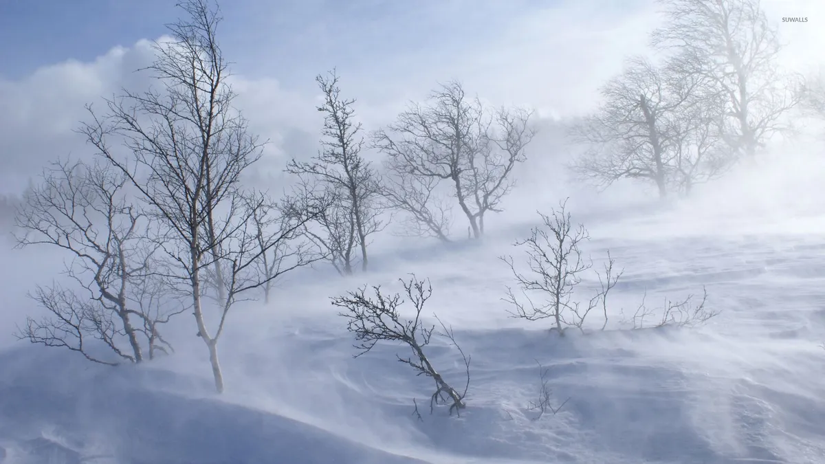
A late-season winter storm is set to bring unprecedented snowfall and dangerous driving conditions to the Sierra Nevada region starting Sunday evening. The storm is expected to peak on Monday, with forecasts predicting heavy snow totals of up to 4 feet in some areas.
Before this development, weather patterns suggested a milder end to winter. However, forecasts shifted dramatically as meteorologists began tracking this powerful system moving into the US Western States.
What does this mean for those in the region? The immediate effects include significant snow accumulation and hazardous travel conditions. Wind gusts are predicted to reach between 50 and 70 MPH along the Sierra crest, with local gusts potentially hitting 80 MPH. As a result, chain control measures will likely be enforced for vehicles at elevations above 5,000 feet.
Key facts about the storm:
- The storm is expected to bring blizzard conditions.
- Snow levels will drop from 7,000 feet to as low as 4,500 feet.
- I-80 and Highway 50 may face multi-hour closures from Sunday night into Monday.
Drivers should prepare for challenging winter driving conditions. Remember that it’s not just about snow accumulation; temperatures will remain below freezing for most of the week, limiting any snow melt. This means that even after the storm passes, icy roads may persist.