
Severe Weather Radar Update
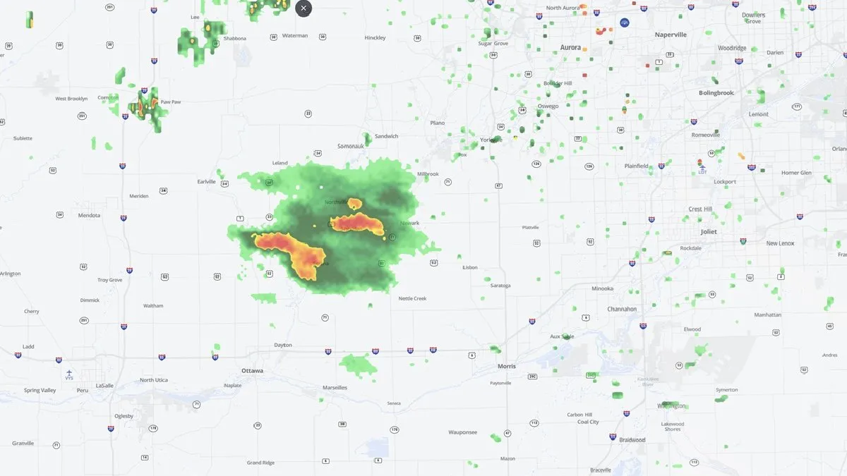
The Chicago area is facing an elevated risk of severe weather on Tuesday evening, March 10, 2026. Intense storms capable of producing tornadoes, large hail, and fierce winds are expected to impact the region.
Grundy, LaSalle, and Will counties have been upgraded to a ‘moderate’ risk for severe weather, while a large part of Cook County is under an ‘enhanced’ risk. Areas near and south of I-80, including Joliet, Frankfort, Morris, and Kankakee, are likely to experience the strongest storms.
The earliest chance for showers and storms to begin will be around 3 p.m., with a line of severe weather anticipated to develop around 7 or 8 p.m. Severe weather is expected to continue through midweek, raising concerns for residents in the affected areas.
This outbreak follows another severe weather event that impacted the same regions just last week, highlighting the ongoing volatility of the weather patterns in the area. Tornadoes, damaging winds, and large hail are also possible for parts of the South, Plains, and Midwest.
According to Caitlin Kaiser, a digital meteorologist with weather.com, the conditions are ripe for severe storms due to factors such as CAPE, which measures atmospheric instability, and wind shear, both of which are essential for thunderstorm development.
As the situation develops, officials are urging residents to stay informed and prepared for rapidly changing weather conditions. Details remain unconfirmed regarding the exact timing and severity of the storms, but the radar indicates a significant risk that should not be taken lightly.