
A powerful cold front has raised significant concerns regarding the weather in San Antonio. The immediate question is: what impact is this cold front having on the region? The answer is that it has brought strong winds and dangerous fire conditions, prompting the National Weather Service to issue both a Wind Advisory and a Red Flag Warning.
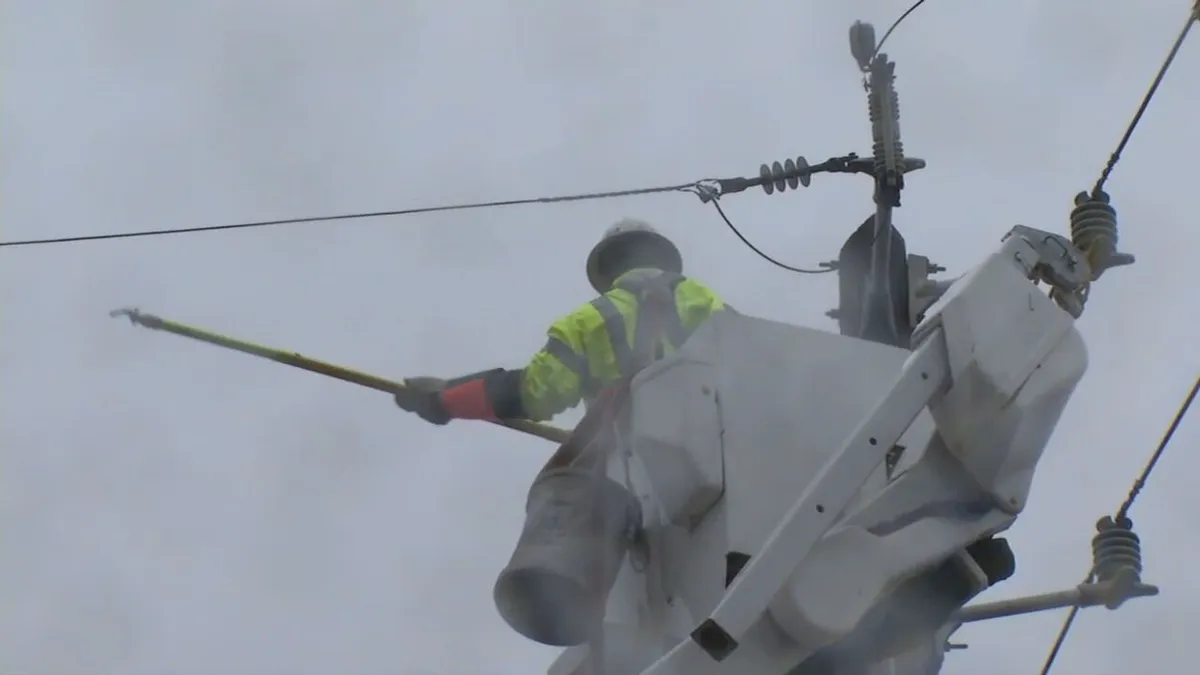
North winds are expected to reach speeds of 20 to 35 miles per hour, with gusts potentially hitting between 45 and 55 miles per hour. These conditions have already resulted in over 18,000 customers experiencing power outages, primarily concentrated on the South and West Side of San Antonio.
As the cold front moves through, temperatures in San Antonio are anticipated to drop into the upper 30s and low 40s by Monday morning. This drastic change follows a period where parts of South-Central Texas climbed into the mid-90s before the front’s arrival.
The National Weather Service warns that fire danger remains elevated due to the combination of dry air and gusty winds. Meteorologists have cautioned that even small sparks could ignite fires under these conditions.
CPS Energy has reported over 55 outage incidents across the city and is urging residents to secure loose outdoor items and stay clear of downed power lines. As the situation develops, conditions are expected to gradually improve later on Monday as winds weaken and humidity increases.
In summary, the cold front has significantly altered the weather landscape in San Antonio, leading to strong winds, power outages, and heightened fire risks. Residents are advised to remain vigilant and prepared as the weather continues to change.