
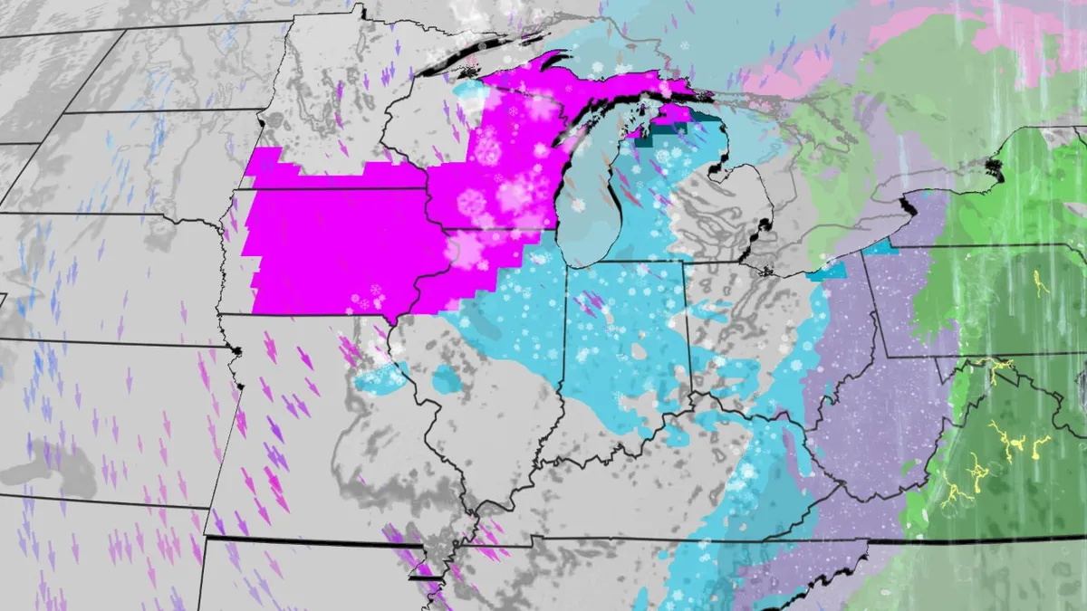
A major winter storm named Winter Storm Iona is currently affecting the Upper Midwest, bringing blizzard conditions and significant snowfall. The storm has already generated prolific snow totals, with Herman, Michigan, reporting an astonishing 36 inches of snow. Wausau, Wisconsin, has also made headlines, recording 23.4 inches of snow, breaking its all-time record for the snowiest single day in 130 years. Green Bay, Wisconsin, is not far behind, with 17.1 inches of snow, marking its snowiest single day in 137 years.
At the Minneapolis-St. Paul airport, 8.8 inches of snow have been recorded. The cold air associated with this storm is expected to persist, with high temperatures in the Midwest struggling to reach the teens, 20s, and 30s. Cold air from Canada is forecast to reach the northern Gulf Coast by Monday, further impacting temperatures across the region.
Looking ahead, another round of snow is expected on Tuesday night, with forecasts predicting an additional 1-2 inches of fresh snowfall. As the storm continues, residents are advised to stay alert and prepared for challenging weather conditions.
In contrast, the Bay Area is experiencing a significant heat wave, with temperatures rising into the low 80s to low 90s. A Heat Advisory is currently in effect for most of the Bay Area until 8 p.m. Friday, and daily records for some cities are expected to be broken due to the heat. Officials are urging residents to stay hydrated and find ways to keep cool during this extreme weather.
As temperatures in the Deep South are forecast to dip below freezing on Tuesday and Wednesday mornings, the stark contrast between the winter storm in the Midwest and the heat wave in the Bay Area highlights the diverse weather patterns affecting the country.
Details remain unconfirmed regarding the full impact of these weather events, but residents in both regions are encouraged to stay informed and prepared for further developments.