
Introduction
Earthquakes represent one of nature’s most destructive phenomena, posing risks to life and infrastructure. The United States Geological Survey (USGS) plays a critical role in monitoring seismic activity and providing real-time data that helps mitigate the effects of earthquakes. Understanding how the USGS operates and the importance of its data is vital for communities in earthquake-prone areas.
USGS Earthquake Monitoring
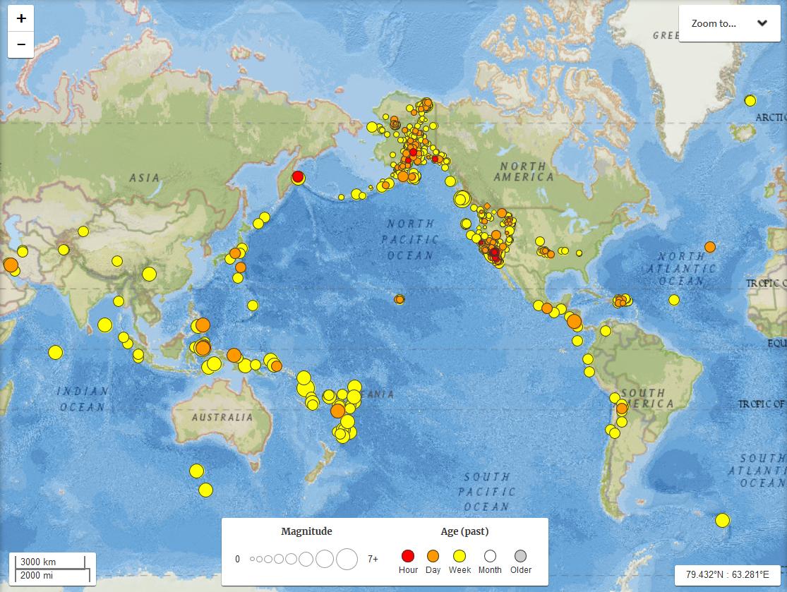
The USGS operates a comprehensive earthquake monitoring system, which includes a network of seismographs spread across the country and beyond. These devices record seismic waves generated by earthquakes, allowing scientists to determine the earthquake’s location, depth, and magnitude. In recent months, the USGS has reported over 500 notable earthquakes across the globe, with magnitudes ranging from minor quakes to significant tremors impacting local communities.
Recent Events and Findings
According to USGS data, California has been experiencing an uptick in seismic activity, particularly in areas like the San Andreas Fault. In September 2023, a magnitude 6.2 earthquake struck near the coast of Northern California, leading to emergency preparations and evacuations in several towns. However, in a surprising outcome, official reports indicated no significant injuries or fatalities, largely due to public awareness and preparedness campaigns promoted by the USGS and state authorities.
The Role of Technology
Advancements in technology have improved the USGS’s ability to provide timely and accurate earthquake information. Real-time alerts are sent to residents via text messages, mobile apps, and social media platforms. These alerts, developed through the ShakeAlert system, give people a few seconds to prepare for seismic waves before they arrive, significantly increasing chances of safety during a quake. For instance, after the recent Northern California quake, ShakeAlert provided timely notifications enabling many residents to drop, cover, and hold on.
Conclusion
Understanding USGS earthquake data is critical for risk reduction in vulnerable areas. As seismic experts continue to refine their predictive models and technology, individuals and communities are better equipped to respond to and recover from earthquakes. The ongoing research and development efforts by the USGS promise to enhance the nation’s resilience against future seismic events, ensuring that citizens remain informed and prepared. Staying updated with USGS reports not only enhances individual safety but also fosters community awareness regarding earthquake preparedness.