
Weather Update for Pittsburgh
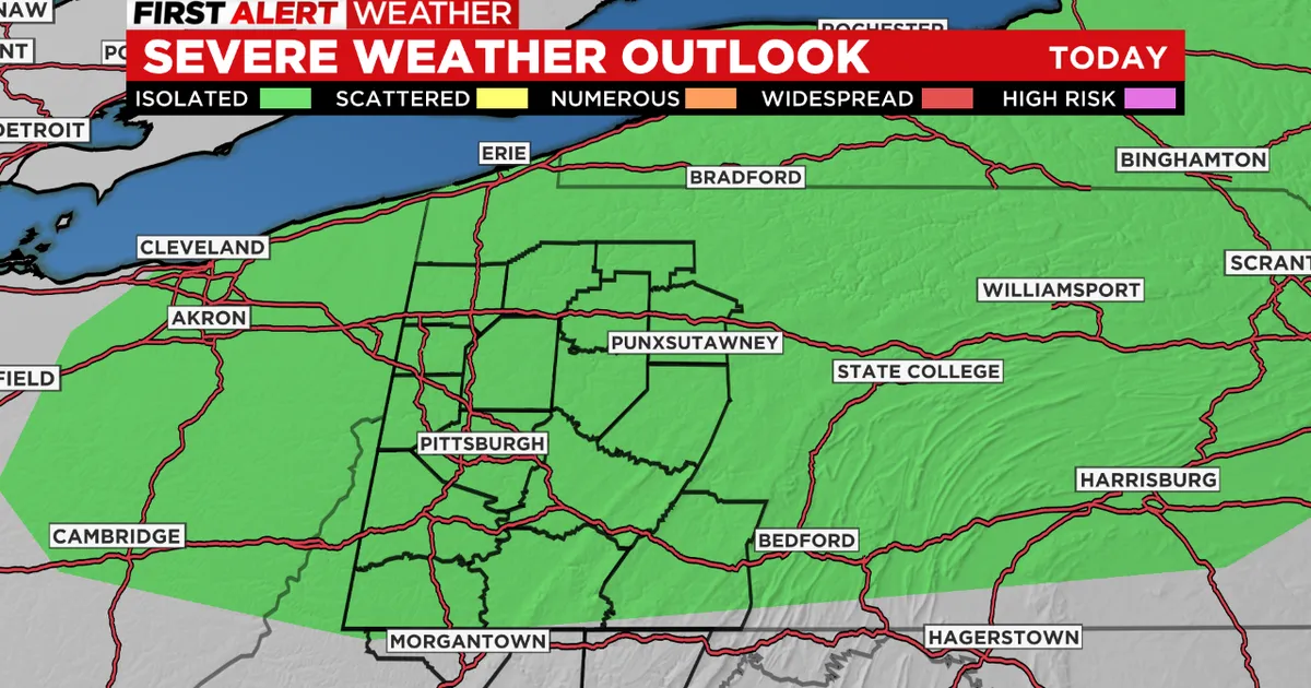
As of March 10, 2026, Pittsburgh is bracing for severe weather conditions. The National Weather Service has issued a First Alert Weather Day for the area, highlighting the potential for thunderstorms, damaging winds, and even an isolated tornado.
The forecast indicates that the highest chance for severe weather will occur between 2 p.m. and 11 p.m. today. During this time, the risk of tornadoes is expected to peak from approximately 2 p.m. to 6 p.m., raising concerns among residents and local authorities.
The Storm Prediction Center has categorized the weather risk as a level 2 on a scale of one to five, indicating a slight risk for severe storms across western Pennsylvania, eastern Ohio, and the West Virginia panhandle.
In addition to the severe weather threat, there is a marginal risk of excessive rainfall. Although a Flood Watch will not be necessary, minor flooding issues may arise in flood-prone areas, as noted by the National Weather Service.
“A few severe storms could be significant,” warned the National Weather Service, emphasizing the need for residents to stay alert and prepared for rapidly changing conditions.
As the day progresses, rain and thunderstorms are expected to move across the region late tonight into Wednesday, further complicating the weather situation.
Local officials are advising residents to monitor updates and take necessary precautions to ensure their safety. The potential for severe weather underscores the importance of being prepared and informed during such events.
This sequence of weather events is critical for Pittsburgh residents, as it could impact daily activities and safety. Those in vulnerable areas are particularly urged to stay vigilant.
As the situation develops, authorities will continue to provide updates on the weather conditions and any necessary safety measures.
Details remain unconfirmed regarding the full extent of the impact from today’s severe weather, but residents are encouraged to stay tuned for further information.