
Unsettled Weather Across the Nation
Today’s weather is marked by unsettled conditions as stormy weather spreads eastward across the United States. The National Weather Service has reported a mix of rain and snow in the Northeast, particularly along the U.S.-Canada border, while thunderstorms are anticipated to reach New England later in the day.
The Midwest is experiencing a combination of snow, rain, and icy conditions, creating hazardous travel situations. Meanwhile, the Central and Southern Plains are bracing for thunderstorms and rain showers, with the potential for severe storms extending into the Southeast and Deep South.
In stark contrast, the Mountain West is expected to enjoy mostly clear conditions, providing a respite from the unsettled weather affecting much of the country. Temperatures are also showing significant variation, with highs in the 40s expected in northern regions, including New England and the southern Great Lakes.
Temperature Variations
In the Southeast, temperatures are expected to soar into the 80s, while the Rio Grande Valley will experience the highest temperatures of the day, reaching into the 90s. This dramatic shift in temperatures follows a period of record highs earlier in the week, highlighting the volatility of spring weather.
In West Michigan, cloudy and cool conditions are forecasted, with high temperatures only reaching the 30s this afternoon. Winds may gust up to 45 mph, adding to the chill in the air. The low temperature in this region is expected to drop to around 20 degrees.
Looking Ahead
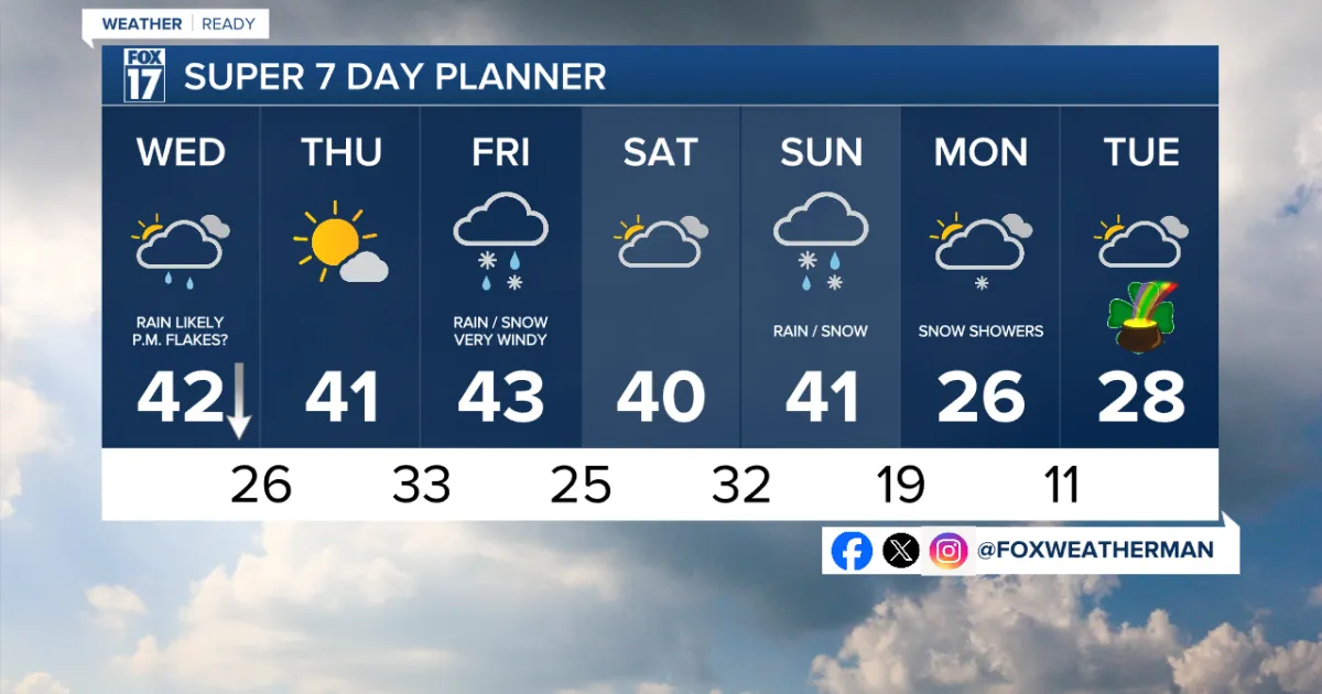
Forecast models indicate that temperatures may rise by 5 to 10 degrees on Wednesday, but the exact impact of the Alberta Clipper system arriving on Friday remains unclear. Additionally, differing forecast models show various possibilities for the weather system expected to arrive Saturday night into Sunday.
As the day progresses, officials and meteorologists will continue to monitor conditions closely, providing updates as necessary. Details remain unconfirmed regarding the potential severity of the storms and their impact on local communities.